Map of Turkey: Cities, Borders and Neighboring Countries
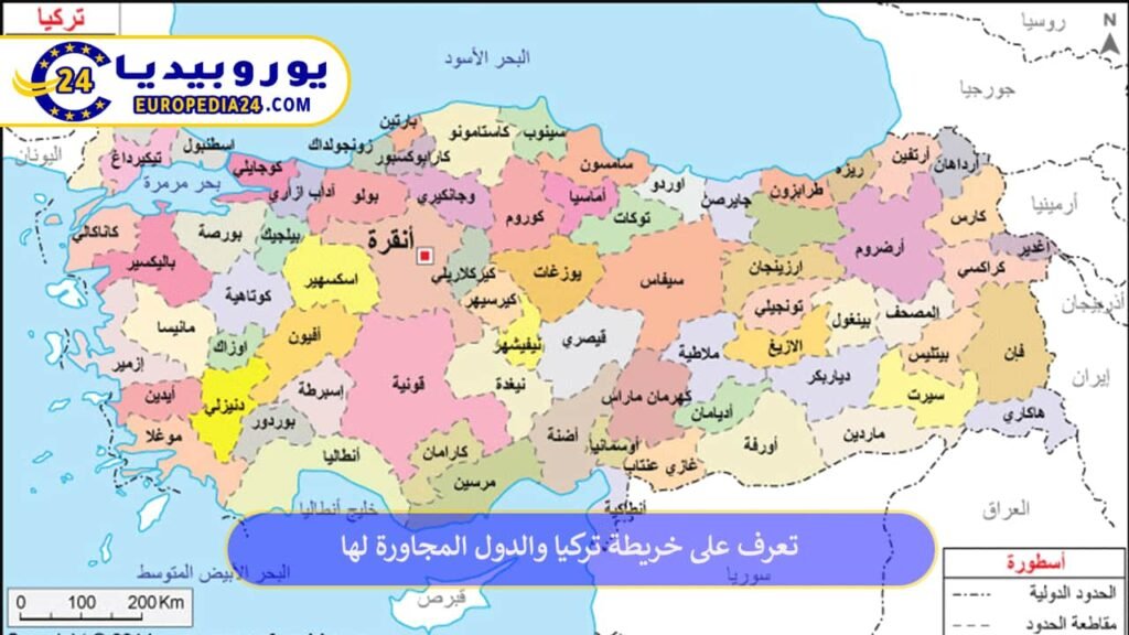
Turkey map: key facts
| Fact | Details |
|---|---|
| Location | Western Asia and Southeastern Europe |
| Official area | 780,043 km², according to Turkey’s General Directorate of Mapping |
| Approximate coordinates | 36°–42° N and 26°–45° E |
| Capital | Ankara |
| Most populous city | Istanbul |
| Provinces | 81 |
| Land neighbors | 8 countries |
| Surrounding seas | Black Sea, Sea of Marmara, Aegean Sea and Mediterranean Sea |
| Population | 86,092,168 at the end of 2025, according to the Turkish Statistical Institute |
Where is Turkey on the world map?
Turkey lies at the meeting point of Asia and Europe. Anatolia forms most of the country in Asia, while Eastern Thrace forms its European section. The Bosphorus, Sea of Marmara and Dardanelles create the waterway between the Black Sea and the Mediterranean and separate the two continental sections.
Greece and Bulgaria lie to the west and northwest. Georgia, Armenia, Azerbaijan’s Nakhchivan exclave and Iran lie to the east and northeast. Iraq and Syria lie to the south and southeast. For a scalable official map, use the interactive atlas of Turkey’s General Directorate of Mapping.
Map of Turkey and neighboring countries
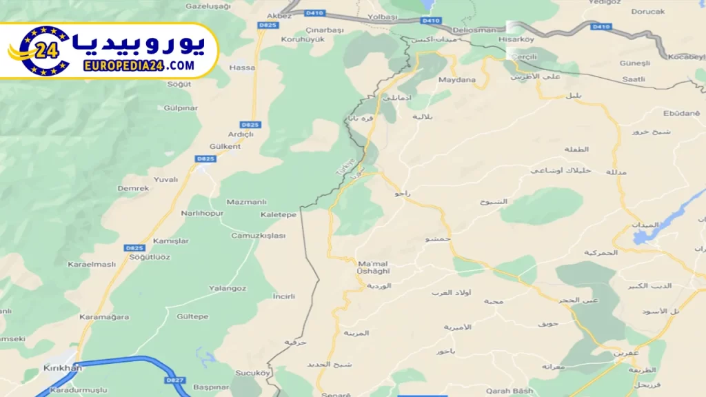
Turkey has land borders with eight countries. The figures below follow data published by Turkish authorities; small differences between official references can occur because of measurement methods and update dates.
| Neighbor | Direction on the map | Approximate border length |
|---|---|---|
| Syria | South | 911 km |
| Iran | East | 560 km |
| Iraq | Southeast | 384 km |
| Armenia | East | 328 km |
| Georgia | Northeast | 276 km |
| Bulgaria | Northwest | 269 km |
| Greece | West | 203 km |
| Azerbaijan via Nakhchivan | East | 18 km |
| Total | Eight countries | 2,949 km |
Borders with Syria and Iraq
The Syrian border runs across southern Turkey from the Mediterranean coast near Hatay to the Turkey–Syria–Iraq tripoint. It is Turkey’s longest land border. The Iraqi border lies farther east, alongside the provinces of Şırnak and Hakkâri.
Borders with Iran, Armenia, Georgia and Nakhchivan
These borders form Turkey’s eastern and northeastern edge. The Iranian border runs beside several eastern provinces, including Ağrı, Van and Hakkâri. The short Azerbaijani border connects Turkey with the Nakhchivan exclave near the Dilucu crossing. Georgia lies to the northeast, while Armenia borders the provinces of Kars and Iğdır.


European borders with Greece and Bulgaria
Turkey’s borders with Greece and Bulgaria are in Eastern Thrace, the European part of the country. Parts of the Greek border follow the Meriç River. Major road crossings are concentrated around Edirne, including Kapıkule on the Bulgarian border and İpsala and Pazarkule on the Greek border.
Turkey’s seas and straits
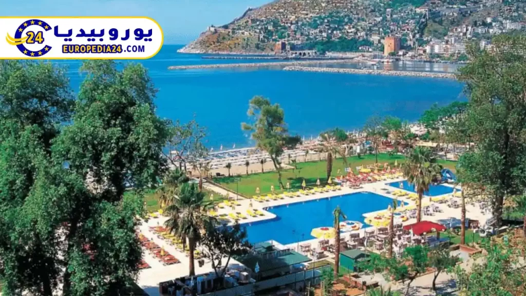
- Black Sea: follows the northern coast and includes cities such as Samsun, Trabzon and Rize.
- Sea of Marmara: lies between the Asian and European sections and connects to the Black Sea through the Bosphorus and to the Aegean through the Dardanelles.
- Aegean Sea: lies west of Turkey, with a deeply indented coastline and destinations such as İzmir and Bodrum.
- Mediterranean Sea: borders southern Turkey, including the coasts of Antalya, Mersin and Hatay.
The Bosphorus divides Istanbul between Europe and Asia and connects the Black Sea with the Sea of Marmara. The Dardanelles connects the Sea of Marmara with the Aegean and runs beside Çanakkale Province.
Map of Turkey with city names
Turkey is divided into 81 provinces. Province area and population are different measures, so rankings that mix them can be misleading. According to the 2025 address-based population results, the five most populous provinces were:
| Rank | Province | Population at end of 2025 | Location and importance |
|---|---|---|---|
| 1 | Istanbul | 15,754,053 | Turkey’s largest population and economic center on both sides of the Bosphorus |
| 2 | Ankara | 5,910,320 | The national capital in Central Anatolia |
| 3 | İzmir | 4,504,185 | A major center on the Aegean coast |
| 4 | Bursa | 3,263,011 | An industrial and historic city south of the Sea of Marmara |
| 5 | Antalya | 2,777,677 | A major tourism center on the Mediterranean coast |
Other important cities include Konya in Central Anatolia; Adana and Mersin in the south; Gaziantep and Diyarbakır in the southeast; Samsun and Trabzon on the Black Sea; and Kayseri and Eskişehir in the interior.
Turkey’s seven geographical regions
Educational maps divide Turkey into seven geographical regions. They are not administrative units, but they help explain the country’s terrain and climate:
- Marmara: includes Istanbul, Edirne, Bursa and the Bosphorus–Dardanelles waterways.
- Aegean: includes İzmir, Manisa and Muğla and has a coastline of bays and peninsulas.
- Mediterranean: includes Antalya, Adana and Mersin and the Taurus Mountains.
- Central Anatolia: includes Ankara, Konya and Kayseri and much of the central plateau.
- Black Sea: runs along the northern coast beside the North Anatolian Mountains.
- Eastern Anatolia: is the country’s highest region and includes Mount Ararat and Lake Van.
- Southeastern Anatolia: includes Gaziantep, Şanlıurfa and Diyarbakır and parts of the Tigris and Euphrates basins.
Physical map of Turkey
Plateaus and highlands dominate Turkey’s physical geography, and more than half of the country lies above 1,000 meters according to Turkish environmental reporting. The North Anatolian Mountains run beside the Black Sea, while the Taurus Mountains rise near the Mediterranean coast. Mount Ararat in eastern Turkey is the country’s highest summit.
The Tigris and Euphrates originate in Turkey. Other major rivers include the Kızılırmak, Sakarya, Seyhan and Ceyhan. Lake Van is the country’s largest natural lake, while Lake Tuz lies in Central Anatolia. This varied terrain helps explain the differences between the Mediterranean coast, the wetter Black Sea coast and the colder continental interior.
Tourist map of Turkey
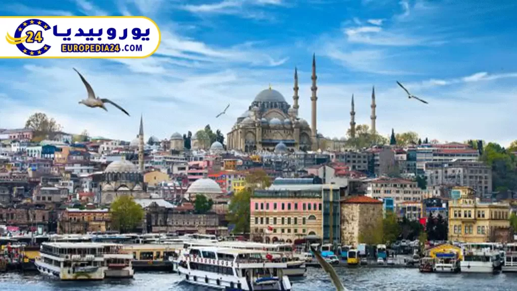
- Istanbul: Hagia Sophia, the Blue Mosque, Topkapı Palace, Galata Tower and the Bosphorus.
- Cappadocia: a historic geographical region in Central Anatolia, rather than a single city, known for rock formations and underground settlements.
- Antalya, Alanya and Kemer: Mediterranean destinations combining beaches and archaeological sites.
- İzmir, Ephesus and Bodrum: major Aegean stops for archaeology, beaches and sailing.
- Trabzon and Rize: useful bases for the Black Sea highlands and green landscapes.
- Ankara and Konya: museums and sites connected with the Turkish Republic and Seljuk history.
Use the map to estimate distances before comparing transport options and official opening times. The official GoTürkiye tourism portal is a useful starting point, and you can browse more practical articles in our Turkey guides.
Frequently asked questions
Is Turkey in Europe or Asia?
Turkey is transcontinental. About 97% of its land is in Asia and about 3% is in Europe. Istanbul extends across both continents on either side of the Bosphorus.
Eight: Greece, Bulgaria, Georgia, Armenia, Azerbaijan through Nakhchivan, Iran, Iraq and Syria.
What is Turkey’s capital and largest city?
Ankara is the capital. Istanbul is the country’s most populous city and province.
Which seas surround Turkey?
Turkey has coasts on four named seas: the Black Sea, Sea of Marmara, Aegean Sea and Mediterranean Sea.
Is Cappadocia a city?
No. Cappadocia is a historical and geographical region in Central Anatolia, centered mainly on Nevşehir and extending into neighboring provinces.
Where can I view an official interactive map of Turkey?
The National Map interactive atlas, operated by Turkey’s General Directorate of Mapping, provides official scalable maps.
Official sources and review references
- General Directorate of Mapping: provincial and district areas
- Turkey’s official interactive atlas
- Turkish Statistical Institute: 2025 address-based population results
- State Hydraulic Works: geography, rivers and lakes
- Ministry of Culture and Tourism: geographical regions
- Ministry of Trade: neighboring countries and customs crossings
Editorial note: This article was checked against the official sources above. Population figures refer to the end of 2025; geographical facts change infrequently, but official maps and statistics should be used for legal, navigation or administrative decisions.
Related Turkey guides
This post is also available in:
 العربية